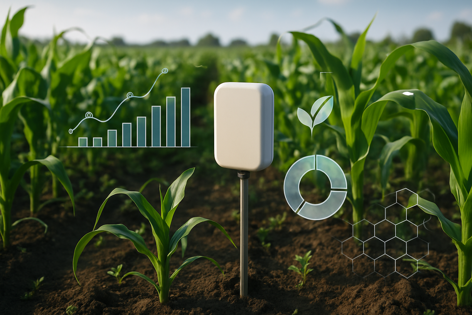
Field-scale vigor, stress & irrigation guidance
Actionable NDVI/NDRE trends, irrigation verification, and yield risk for growers, lenders, and insurers.
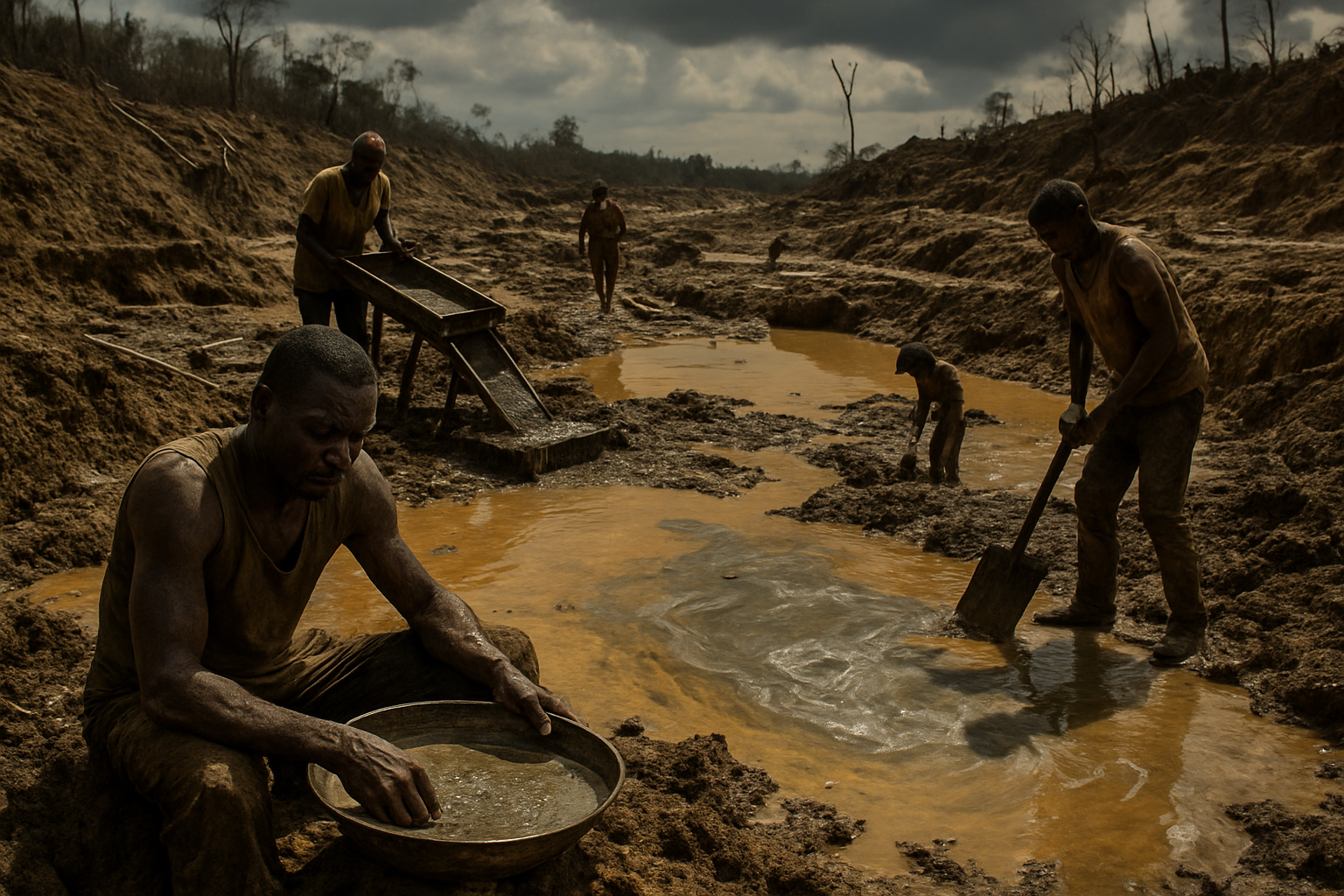
From satellite pixels to decisions that matter. SFL fuses multi-source data, advanced processing, and domain expertise to deliver timely, trustworthy intelligence.
Actionable NDVI/NDRE trends, irrigation verification, and yield risk for growers, lenders, and insurers.
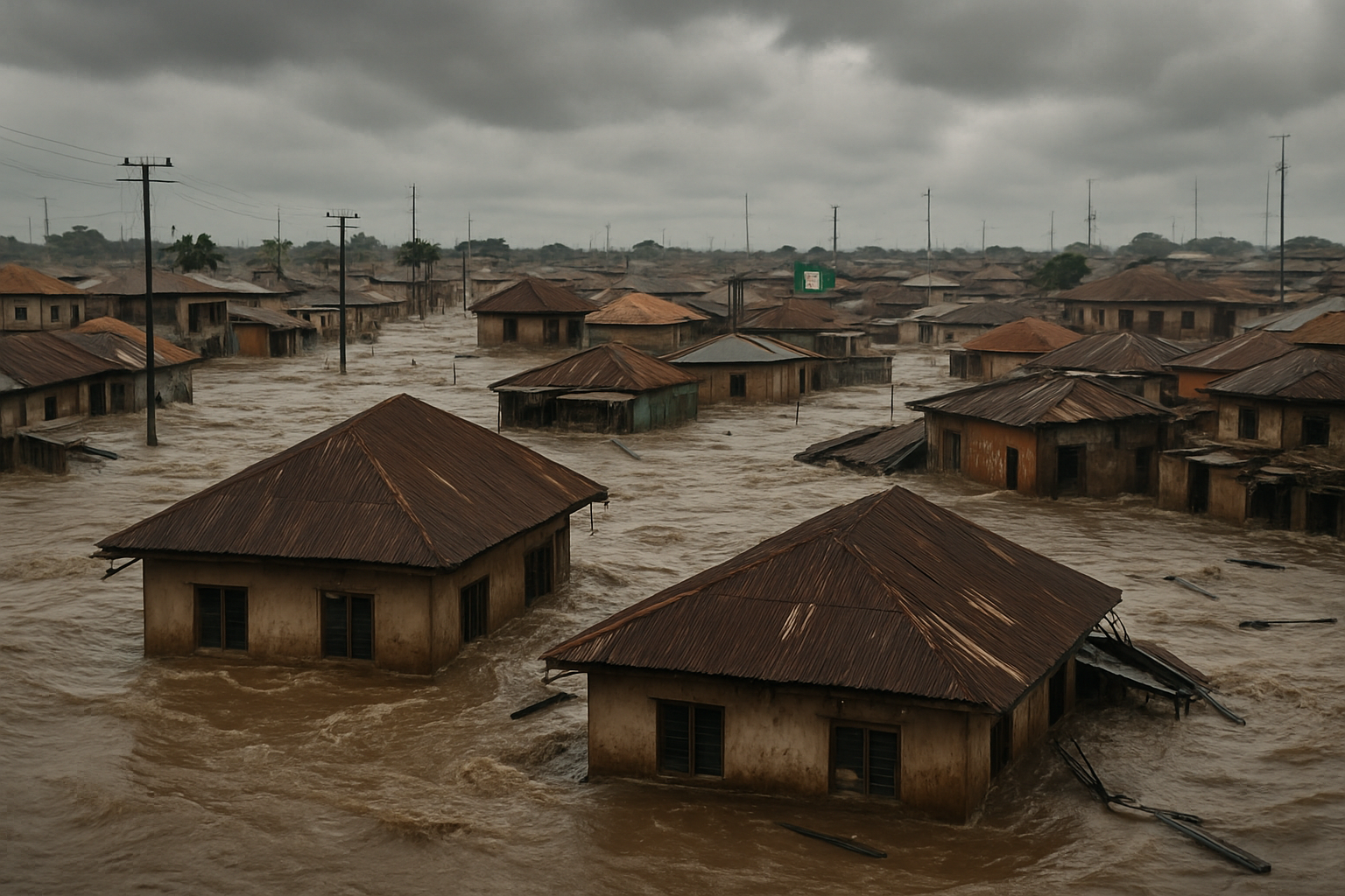
Monitor mangroves, detect illegal mining runoff, and track sediment impacts near communities.
Event-day footprints, burn severity, and routing constraints to support ops and claims.
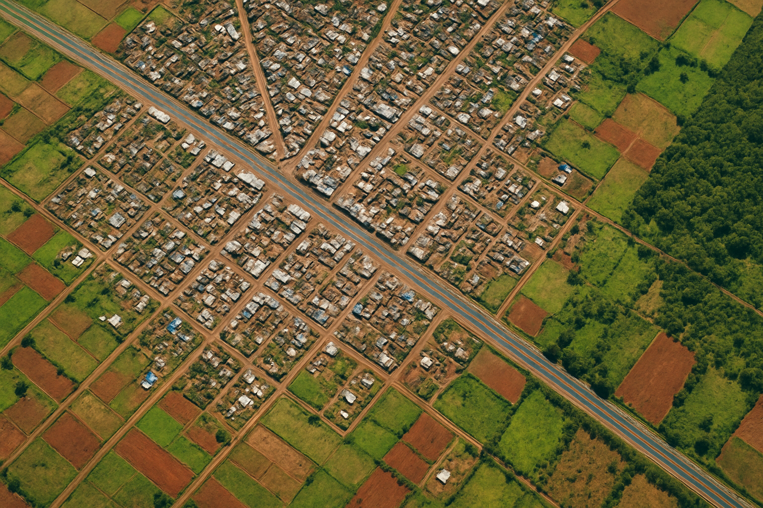
Identify growth corridors, settlement expansion, and infrastructure needs with time-lapse context.
Detect encroachments, identify flares/plumes, and monitor asset integrity at scale.
High-integrity MRV support and parametric triggers powered by multi-sensor analytics.
Have a use case or want a demo? Share a line and we’ll respond within 24 hours.